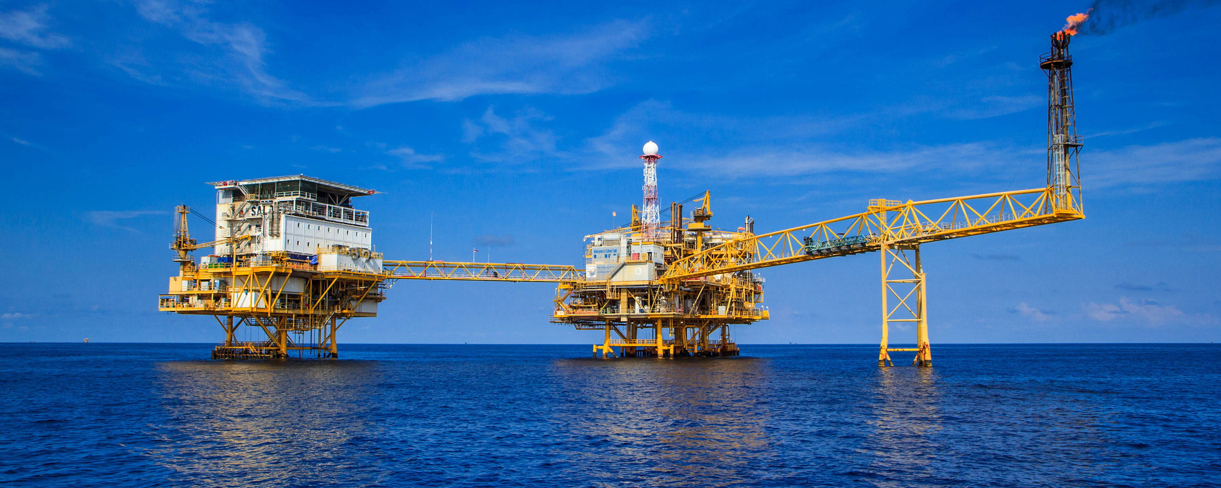
In order to understand the State’s spill risk profile, the DoT commenced a state-wide marine oil pollution risk assessment to identify the environmental, social and economic priorities for the entire state.
The situation
The Western Australian (WA) Department of Transport (DoT) is the Hazard Management Agency (HMA) for marine oil pollution in WA State waters. As the HMA, DoT must continue to ensure that the capacity of the State to respond to an oil spill is commensurate with the risk.
In order to understand the State’s spill risk profile, the DoT has commenced a state-wide marine oil pollution risk assessment. The risk assessment is comprised of two components. The first component evaluates protection priorities of the receiving environment in order to assess potential consequences of marine oil pollution. The second component assesses the likelihood, size, location and type of potential marine oil pollution. Protection priority outputs from component one will be modelled with spill characteristics from component two to give an overall risk profile for the State.
Results of this project will be used to make resource allocation decisions on a regional, state and national level, and will undergo scrutiny by regional, state and national agencies. For the purposes of this project, State waters have been divided into seven zones. The project is being rolled out on a zone-by-zone basis over the next two to five years. The first zone to be undertaken has been the Pilbara which extends south of Ningaloo to east of Dampier.
Advisian’s role
The DoT sought a qualified company to identify the environmental, social and economic priorities for the entire state, and then develop a ranking system to be able to prioritise them for response decision making in the event of a spill. Our assessment utilised our environmental risk assessment capability, in combination with a Multi-Criteria Analysis (MCA) to determine relevant priorities and a ranking system based on geospatial data collected and created from a number of different sources.
Our approach
Advisian identified that there are numerous geospatial data layers available for environmental, social and economic sensitivities in WA that are protected under both Commonwealth and State legislation. These data were grouped into five categories: Protected Fauna; Protection Areas; Cultural Heritage; Economic and Social; and Amenity and Recreation. As this is a highly important output for the State, a Steering Committee was established to facilitate the identification and collection of relevant data and ensure appropriate rankings and processing.
The Steering Committee established a multiple agency review and input throughout the first project zone. The Steering Committee was to comprise of:
-
A DoT representative;
-
Two project team representatives;
-
Multi-government agency representatives; and
-
An independent representative.
We used our multi-criteria analysis (MCA) methodology to process and assess the over one hundred thousand layers of data identified. The MCA process takes into consideration the full spectrum of sensitivities including social and economic considerations, such as registered Aboriginal heritage sites, and marine parks and reserves, major shipping ports and popular beaches.
Using our oil spill experience developed through provision of response services to the offshore and nearshore oil and gas industry, a priority ranking system was developed. The ranking system takes into account vulnerability, sensitivity and recovery in order to prioritise the different elements. In a collaborative workshop these protection rankings were reviewed by the Steering Committee. This involved comparison and adoption of international organisation procedures, such as the US NOAA Environmental Sensitivities Index, to rank habitat vulnerability to hydrocarbons, as well as Australian-specific experience and rankings utilised for similar assessments in Victoria and New Zealand. We then undertook the MCA to process these layers and create a map of high, medium and low risk areas for protection along the coast.
“… Work of this nature has not been undertaken in Western Australia previously, hence Advisian were required to research methodology from interstate and overseas studies, and adapt these methods [to the analysis]. Factors taken into consideration included the large geographic scope of Western Australian State waters, areas of insufficient data, seasonality and application to oil spill preparation and response. This task was complex and required due consideration by Advisian’s project team...”
Emily Gifford – WA Department of Transport
Results
The Pilbara zone was a development case and the scope of this task was large, involving extensive liaison with various agencies to collect significant amounts of data under tight deadlines. This work was conducted with diligence and a competent understanding of the requirements and importance of the task. The outcome shows that the Pilbara zone is highly sensitive to marine oil pollution. This includes extensive significant mangrove communities and sheltered intertidal flats that provide habitats for numerous internationally protected fauna species, particularly birds, dugongs and turtles. The Zone also includes the World Heritage Area of Ningaloo which provides natural heritage of international importance, including being one of the longest near-shore reefs in the world that is home to annual gatherings of whale sharks and a wealth of marine species including nesting and foraging sites for five of the world's six protected marine turtles.
Advisian's project team has been faced with several challenges for the first zone which were discussed and overcome. We anticipate that each zone will deliver its set of unique challenges, such as the Kimberly, where limited geospatial information has been developed. The project team has shown a strong focus on achieving robust results which can be rolled out across the remaining six zones over the next two to five years, to eventually provide a map of known and proposed protection priority areas across over 12,000 km of WA’s coastline.
This approach has been praised for its outstanding approach and has been recommended to be utilised as a template for other States and eventually be used to develop a national profile for Australia.


